Friday, December 31, 2010
Weather Explained: Supercell
What is a supercell?
A supercell is the most likely to become severe. It is isolated from other storms. Supercells are characterized by their rotation in clouds.
What does a supercell look like from the ground?
A supercell is defined by the almost circle-like formation in the clouds.
What does a supercell look like on radar?
Supercells are very well seen, like something is swirling the storm into one spot.
That is the most telltale sign in a supercell. If you see one, find cover immediately.
Are supercells dangerous?
They are the most dangerous of thunderstorms and have most potential to be severe.
Other information
Because the supercell shows a swirl, it is a very strong example of how a tornado forms. If you see that type of swirl, supercell or not, it has the most likely chance of being a tornado.
Weather Explained: Bow Echo
What is a Bow Echo?
A bow echo is a line of storms in a curve shape. Below is a picture.
It is a squall line that carries very intense winds.
What can a bow echo do?
Bow echoes are extremely windy. They are very similar to squall lines. They do have more potential to produce tornadoes, as the winds are higher and there is a curve in the line, which is conductive for tornado formation.
Are bow echoes dangerous?
Yes they are.
What can I do if I see a bow echo coming?
Take anything that can fly away outside inside. Bow echoes can topple trees and are associated with supercells, which will be in the next Weather Explained.
How will I see a bow echo on radar?
You will see a line of intense storms in a big curve.
Plains Blizzard creating Hazardous Conditions.
A low pressure system is currently moving north in the Midwest. It is producing heavy snow and blizzard conditions in the Plains.
The Storm Prediction Center has issued an image on the matter.

Above, we can see the low pressure moving up through Nebraska into Iowa. The green arrow means warm, moist air is moving into the area outlined, making a very nice area for heavy snow. In the pink outline, blizzard conditions are expected, with snowfall rates of 1'' an hour likely. And in the blue area, 2'' an hour of snow is possible. That is incredibly fast accumulation.
Below is an image from the Weather Channel.

The heaviest rain will fall in the Southeast back into the Northeast US. The most snow will occur in the Upper Midwest through the Upper Plains. The worst-hit areas can expect 6-12'' of snow, with localized higher amounts.
Updates as they come, here, at The Weather Centre.
Weather Explained: Squall Line
What is a squall line?
A squall line is a band of intense storms moving together in a line. They are associated with cold fronts, as cold air meets warm air.
What do squall lines do?
Tornadoes have been known to occur more often in single-celled storms. Squall lines are like a big line of single-celled storms. Squall lines are very likely to produce high winds, because they move so quickly and can be in a bow echo, which will be in the next Weather Explained.
Are squall lines dangerous?
Yes. They are very dangerous at times.
What do squall lines look like?
On a radar, they come up as a line of storms. Below is an image of a squall line.
You can see the leading edge of storms at the front, where the cold air first meets the warm air. Then, the cold air overtakes the warm air, and the storms die down after the first line of storms.
Severe storms strike Midwest, Plains.
Severe storms are currently hitting the Midwest and exiting the Plains. The storms are the result of a low pressure system moving north through the Plains with a cold front, bringing an end to the warm weather across the east US.
Multiple watches are in effect at this time, and reports of tornadoes, wind and hail have come in.
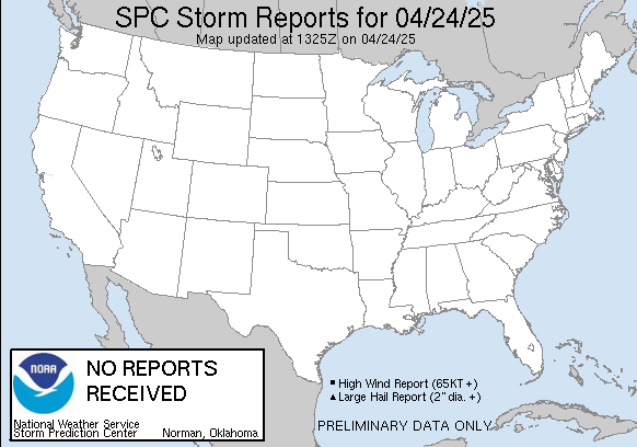
The below image is a report status.

As we can see, the storm really took off on the Missouri-Illinois storms, bringing most of the tornado reports in. The storms even extended into Oklahoma at one point. Below is an image of current watches in the US.

The red boxes are tornado watches. So, the south is getting hit, back through the Midwest nearing Chicago. They are in a squall line formation.
More information as it comes in.
Subscribe to:
Comments (Atom)
