URGENT:
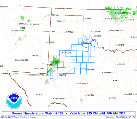
THERE IS A PARTICULARLY DANGEROUS SITUATION TORNADO WATCH IN PLACE IN THE FOLLOWING AREAS:
-NORTHEAST TEXAS
-EAST OKLAHOMA
...UNTIL 10 PM CDT.
AT 4:13PM CDT, SUPERCELLS WERE FORMING IN A SQUALL LINE FORMATION ALONG AN OCCLUDED FRONT.
GIVEN THE DANGEROUS LEVEL OF THIS SITUATION...VIOLENT AND LONG-LIVED TORNADOES ARE CERTAINLY POSSIBLE.
THE RISK OF TORNADOES IS HIGH IN THIS REGION.
FOR ADDITIONAL INFORMATION, FOLLOW THIS LINK.
ANYONE IN THE REGION MENTIONED ABOVE IS STRONGLY ADVISED TO SEEK SAFE SHELTER IMMEDIATELY AND HAVE DISASTER PREPARATIONS IN PLACE.


