Monday, April 4, 2011

Potential Severe Weather Event April 7-10

In this map from the HPC, it can be determined yet another severe weather event will occur over the Midwest, all too similar to last night's outbreak.
However, there will be differences.
The low pressure system will be significantly weaker.
That said, the chances of significant severe storms dims.
However, with a classic warm front then succeeding cold front, it can be expected at least a weak squall line will occur.
Looking over GFS CAPE forecasts, instability will be most intense in Central IL westward into Missouri.
We will keep an eye on this and watch it as this develops.

April 4 5-Day Severe Weather Forecast

This is a new product of The Weather Centre. As we move into the summer season, these forecasts will become more common.

NO SEVERE WEATHER UNTIL APRIL 7 EXPECTED


APRIL 7
A cap is expected to begin to develop in the Southern Plains exactly 3 days out. When a cap develops, instability can develop as well. That cap will fluctuate at times, but it will overall keep the Southern Plains under the protection from storms.
That cap is expected to be strong and will not break unless a cold front comes.

APRIL 8
The cap will begin to break, and CAPE values will skyrocket past 2000 j/kg, indicating instability. The Lifted Index will also drop to -7 as the atmosphere destabilizes. As the day wears on, CAPEs will continue to rise. However, the cap will weaken but still be in place. Suddenly, CAPEs will drop and the cap will weaken more. That cap will strengthen and move east. The cap, moving 6 hours ahead, will strengthen more and move north.

April 4 2011 Severe Weather Situation

There are several watches out right now as a cold front moves across the US, producing severe storms. We will go in-depth into these watches.
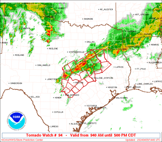
There is a watch spanning from the Gulf Coast in Louisiana and into Mississippi. This is a tornado watch, which will expire at 6:00 pm CDT. These storms are not expected to produce a significant threat for tornadoes, but they will be somewhat of a concern.
This is a watch issued for the area just above the previously issued watch. This watch goes to 6pm CDT.
For both watches, many parameters are not on par to produce significant storms. The reasons are...
1. Lapse rates are low.
2. CAPE values max out at 3000 in only a couple spots onshore.
3. Wind shear isn't terribly high.
4. There is no cap, thus stabilizing the atmosphere.
After reviewing these factors, it appears to me the storms will weaken as they continue east and will fade below severe limits tomorrow on the Eastern Seaboard.
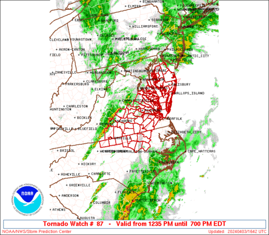
This is the last watch currently issued. These storms are more broken up and not as much of a severe threat. This watch is a severe thunderstorms watch that goes until 9 pm EDT.
This storm has its perks, like
1. Wind shear is higher within the storms.
2. Supercell composites are fairly high
3. Some capping to the east.

However, this storm also has its downs, like
1. Very low CAPE values.
2. Not a direct flow from the low level jet stream.

I agree with the decision for this watch to last longer, as some parameters are in agreement that are crucial for storms.
We will monitor these situations as they unfold.

Severe Weather Outbreak Expected Tonight (April 4)

There is another severe weather outbreak expected over the US, but this time targeting the South US mainly.
The overall tornado risk will be low. The hail risk will be 30% in the moderate area, 15% in the slight area.
Below is the damaging wind threat, which caused this moderate risk area to be issued.

Severe Storms Still Occurring (April 4)

A line of severe storms is still producing that weather as a severe thunderstorms watch has been issued for that area. These storms are most capable of Severe Wind and Severe Hail. However, both their risks are moderate at best.
This watch continues until 11am as the line continues to move off through the watch area.

Storms Fall Apart in Chicago

The storms in Chicago fell apart last night and lost their severe characteristics.
The reasons why are interesting:
-A cap redeveloped, slightly suppressing storms.
-CAPE values fell, making the atmosphere unsupportive of severe storms
-Lapse Rates were unsupportive to begin with.

All in all, after a couple of cells, a very light cap redeveloped around Chicago. As that happened, storms that moved through were killing the CAPE values, thus stabilizing the atmosphere.

Just as a reference, I posted all those images but that never came to. I will post worthwile information from now on.
But the first outbreak gets you excited like that.