Sunday, February 27, 2011

Forecast Discussion Feb 27 2011 Severe Weather

This is a special Forecast Discussion about developing severe weather in the Plains into the Midwest.
Right now, Strong low pressure in West Oklahoma has long occluded/warm front extending into the Ohio Valley. Cold front extending near New Mexico pulling dry air eastward.
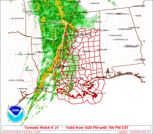
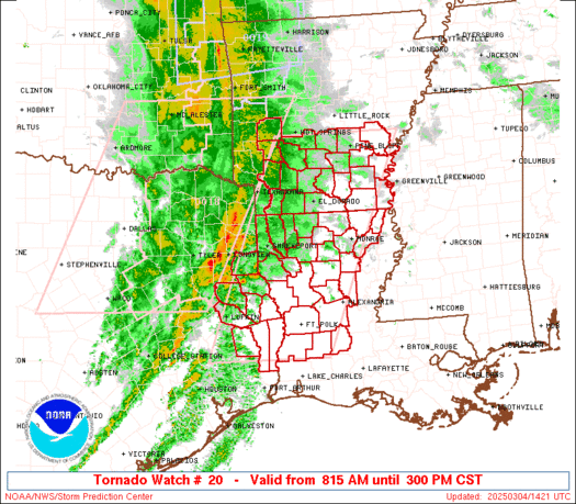
Dry line in Texas provides starting point for severe storms, as well as along warm front and cold front. This is a very dynamic situation, and we have drawn up a map of current analysis.
Will keep careful watch on progression of dry line, and especially occluded/warm front, where current storms are occurring.

Feb. 27 Tornado Watch

A tornado watch has been issued until 9pm CDT for the following areas:
-North Central Oklahoma
-Southeast Kansas

As of 3:41pm CDT, the potential for storms has increased enough so a tornado watch has been issued. Strong storms can be expected to form in this area.
Make preparations immediately to secure outdoor objects and make a tornado shelter.

Today's Severe Weather Reports


Green = Large Hail. Blue= Strong Winds. Red= Tornadoes.

2001 Severe Weather Report Summary

From SPC.
Below in order, are reports of Large Hail, High Winds, and Tornadoes for the year 2001.
Below we see the main area for large hail is definitely Tornado Alley.
Below we can see the main area for damaging winds was in the East US.
Below, we can see the main area for tornadoes was Tornado Alley into the Upper Midwest.

2000 Severe Weather Report Summary

From SPC
In order: Reports of Large Hail, High Winds, and Tornadoes for the year 2000.
Below, the main area for large hail was Tornado Alley back into the Midwest.
Below, the area for high winds was the entire East US.
Below, the main area for tornadoes was in Tornado Alley.

Feb. 27 Severe Thunderstorm Watch

A severe thunderstorm watch has been issued until 9pm CDT for portions of EAST KANSAS and portions of NORTH MISSOURI.
At 1:40pm CDT... Strong to severe thunderstorms were developing in East Kansas moving Northeast. These storms are single celled, making a potential for tornadic activity.
Hail and high winds can be expected from these storms.

Significant Severe Threat Today.

There is a large severe threat today. The explanations are below.
As we can see below, on this tornado graph, there is an enhanced risk of tornadoes occurring in the South Illinois, Southeast Missouri, West Kentucky, West Tennessee and much of Arkansas. If you are in those areas, work now to prepare for potentially strong tornadoes.
Below, on the potential for hail, we see a 30% area over much of the areas mentioned above. If you are in the 30% risk area, work now to prepare for potentially large hailstones.
Below is the potential for high winds. In the same areas as above, there is a 45% area for the probability of high winds. If you are in the 30% area, work now to prepare for high winds. If you are in the 45% area, work now to prepare for extremely high winds.

There is a significant severe threat today. The images from top to bottom are the overall threat, tornado, hail and wind.
People in the MODERATE areas should work now to prepare for extreme thunderstorms.
People in the SLIGHT areas should work now to secure outdoor objects.

FORECAST DISCUSSION FEB. 27 2011

Models yesterday night had begun to replace tomorrow's storm with snow instead of rain in portions of the Midwest.
This Forecast Discussion also includes the morning model analyses.
ECMWF- The ECMWF model apparently did not change with the 0z run.
NOGAPS- The NOGAPS model has a two low solution. It holds back the rain/snow line to WI/IL border.
GEM- GEM is continuing to be very consistent, but is showing signs of aligning with the NOGAPS solution.
GFS- The GFS takes a one low solution potentially weaker, with the rain/snow line on WI/IL border.
WRF- The WRF is exactly aligned with the GFS solution.
SIHM In-house Model- NOGAPS/ECMWF blend.

Will watch system as it happens.