Friday, January 6, 2012

Bitter Cold Will Come to the Country

We will start seeing the bitterly cold temperatures moving south from the polar vortex shortly, and here's how:

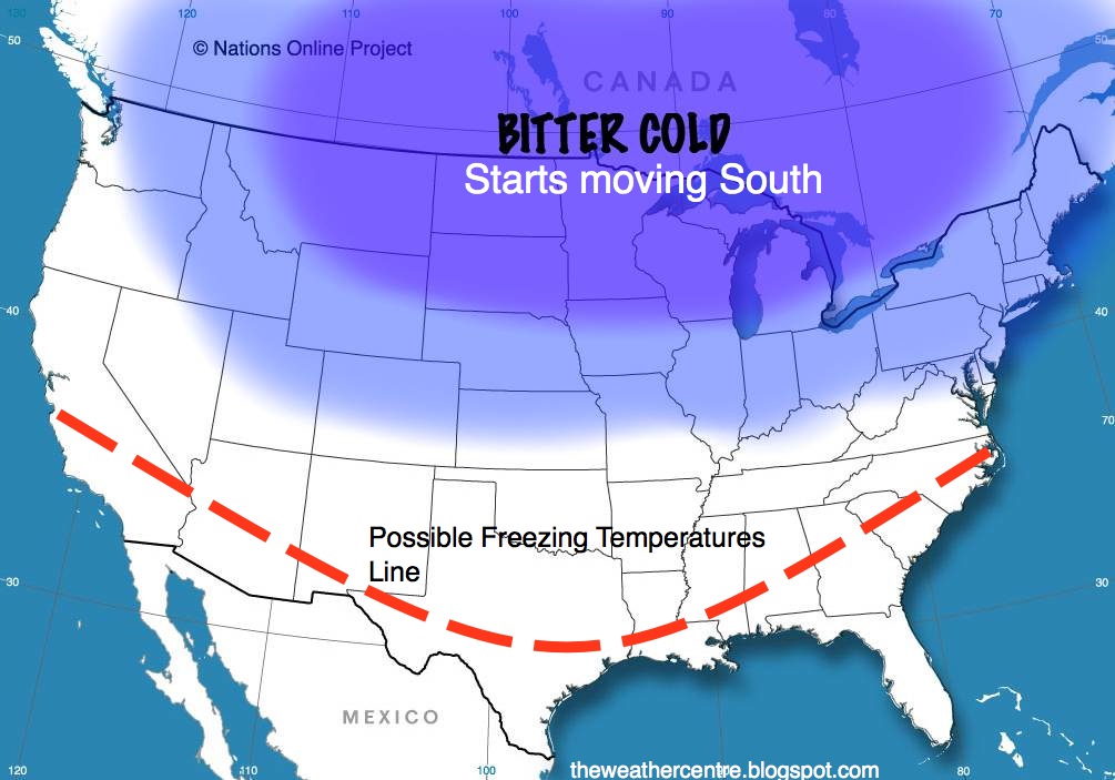
1. A persistant ridge in the far northern Hemisphere will eventually obliterate the crucial low pressure systems that make the polar vortex what it is.
2. The Alaskan Low will break down, replaced by a strong ridge. This ridge will lead to a favorable pattern for storms in the Eastern US, where winter weather has been virtually nonexistent.
3. The Sudden Stratospheric Warming event has put on what may come to be an irreversible effect on the stratosphere. Even right now, we are seeing the EP Flux indicator suddenly strengthen, indicating that warm air is once again making a push at the stratosphere.

REMINDER: Ask Questions on this Winter *LIVE* Tomorrow from 12-1 PM CST

You can ask questions about ANYTHING pertaining to this winter from 12:00-1:00 PM (CST).

Some other notes about this:
-You can ask forecasts, a general overview, or even terms you don't understand on this blog!
-The number of questions you ask is unlimited.
-We will make our best efforts to answer every question by 1:00 PM CST. But if there are questions submitted after 1:00 PM CST, we will not be answering them.

We will provide a link at 12:00 PM CST where you can post your questions.
It will be on this blog.

1/6/12

The deep low pressure system in Alaska will be going down very soon. After this Sudden Stratospheric Warming event, the warming may begin to propagate downwards. Either way, we will be seeing this Alaskan Low erode as progressive storm systems crossing the Alaska will pull its energy away. That, combined with the persistent ridge in the far upper Northern Hemisphere, will work to get a ridge in place where the Alaskan low WOULD be. That ridge will provide building grounds for some serious winter storms.