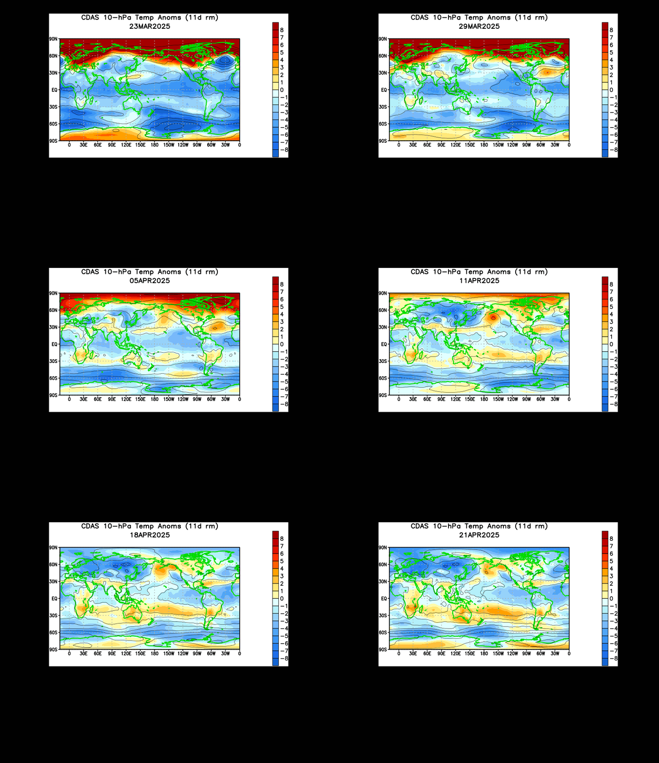
A swath of warming in Asia that previously had begun to stagnate and retrograde into Europe appears to be making a second push towards reaching the Arctic. The Climate Prediction Center animation above shows temperature anomalies in the upper stratosphere way above normal in Asia. This swath of warming was generated off of the Himalayan mountain range, which is a common place for air to rush up the mountainside and shoot into the stratosphere to begin the process of a sudden stratospheric warming. A week ago, the mass of warming began to stagnate after an initial forecast of the mass of warming shooting into the Arctic through the Bering Sea. However, in the last few frames of this animation, you can see how the warming starts to push into northern Siberia in an attempt to get into the Arctic and create an official sudden stratospheric warming.
Recent mountain torque values show a spike in the beginning of March when we initially thought the warming would hit the Arctic, and now an even stronger rise in global mountain torque values. The sharp increase of mountain torque in the winter is known as a predecessor for a sudden stratospheric warming event. Considering the swath of warmth is making its big push to the Arctic (and really isn't that far away), I expect this mass of warmth to hit the Arctic in the next week to 10 days. This mountain torque event is stronger than the last, and the mass of warmth is making a very strong push to reach the Arctic. If this was to happen, we could expect an enhanced risk of severe weather later on in the spring, as well as a cooler May-August, especially in the northern US.
Andrew


