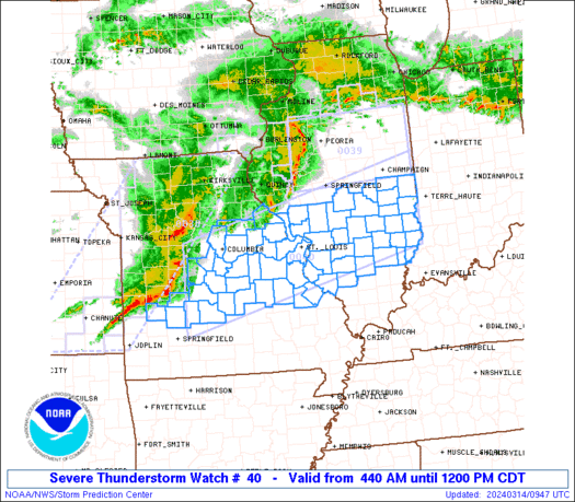
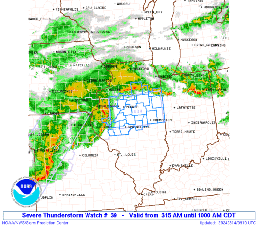
Image from Weatherbug.
Saturday, March 5, 2011
March 6, 2011 Forecast
We will expect cool temperatures to extend through the Midwest, with snow showers in the Upper Midwest. Out on the East Coast, heavy rain and storms are likely as a strong low pressure system continues throughout the US. Mild conditions will occur in the South Central US, continuing through the west. In the Northwest, rain and snow will also occur as another low pressure occurs.
Tomorrow's Forecast
GFS Model has been indicating in the last couple runs that some snow will be occurring in the Chicago area.
The GFS also indicates that areas in the Northeast will receive a slightly more extended area is frozen precipitation, also that the low may be a bit south than thought.
The South should be nice and sunny in many areas.
Out west, low pressure will create frozen precipitation in the Northwest.
Weather Models Page
There are major problems with the Weather Models page that will have to be fixed.
The page will be down for a while.
Potential Plains Snowstorm March 8-9 2011
Significant snow accumulations would be possible.
The DGEX model has been toying with this idea, and below is the latest forecast for the snowstorm.
The Weather Centre is certainly monitoring this situation. Current track appears to be through North IL.
NOGAPS/ECMWF/GEM/GFS all agree on that solution.
Current risk of this happening: Moderate/High
Severe Weather Situation #002
That same complex of storms mentioned earlier today are back again, and have produced a new tornado watch.
These storms appear to have weakened, and the hook storm offshore, but a tornado watch has still been issued.
Mostly now, it should be just cloud to ground lightning and spotty hail. High winds are likely as well, but tornadoes do not appear as likely as they were earlier today.
NowCast March 5, 2011 2:51 pm CDT
Snow continues to fall across the Chicago area. Strong low pressure moving east with heavy rain and embedded thunderstorms in the Ohio Valley and Northeast down to the Florida area along a cold front moving with the low pressure. Severe storms can be expected across the Southeast. Especially across the Gulf Coast.
Weather Explained: QPF
QPF is Quantitative Precipitation Forecast. It is a map depicting future precipitation for an area.
How can I read a QPF map?
It is very simple. Let's say the weatherman says rain. You find a QPF map. It shows 1.13''.
That means 1.13'' of rain will fall. It is just showing you how much rain will fall.
For snow, you can multiply a value by 10 to get an average snowfall amount. Below is a real-time QPF map.
What does a QPF map look like?
So, if we look in Mississippi (March 5th), we see the number 4.1 That means 4.1 inches of rain is predicted to fall.
Weather Explained: CAPE
What is CAPE?
CAPE is a measure of instability in the atmosphere. It is also called MUCAPE, which means Most Unstable Convective Available Potential Energy. Certain values indicate when severe storms can form. Typically, values of 2000 j/kg are the beginning of instability good enough for storms.
How unstable can CAPE values get?
The most I have ever seen on a map is 6000 j/kg. That is EXTREMELY unstable.
How can I determine if the atmosphere is unstable?
One you find a CAPE map, see the below table for guidance.
1-500 j/kg: Stable.
500-1000 j/kg: Relatively stable.
1000-2000 j/kg: Unstable.
2000-3000 j/kg: Very unstable.
3000-4000 j/kg: Extremely unstable.
4000+ j/kg: Rare. So unstable that a simple rain shower could make a tornado.
Where can I find a CAPE map?
1. Go to the Storm Prediction Center website.
2. Click 'Mesoanalysis'.
3. Click on the region where you live.
4. Mouse over the tab 'Thermodynamics'.
5. Click on 'CAPE- Most-Unstable / LPL Height'.
Severe Weather Situation #001
We are carefully watching a storm complex begin to move into the New Orleans area this morning. A tornado watch has been issued to accompany that complex, and below we have what areas are covered in that watch.
We see the watch will expire at 4:00pm CDT this evening. If you look closely in the far south portion of the watch, you will see a hook in a red line.
Hooks indicate some form of rotation. If you are anywhere near that red hook, prepare for a potential tornado.
Some changes have been made.
-Inserted Canada Tornado forecast into the US tornado forecast.
-Totally remade US Spring forecast.
March 5-6 2011 Forecast
(Image from Weatherbug, click for animation.)
As a strong low pressure system moves out, cooler and sunny conditions will prevail over the Midwest back into the South. Some snow may be falling in the Upper Midwest. Embedded thunderstorms can be expected in the heavy rain areas.
Flooding will definitely be a concern in the Ohio Valley as well as the Northeast.
Subscribe to:
Posts (Atom)