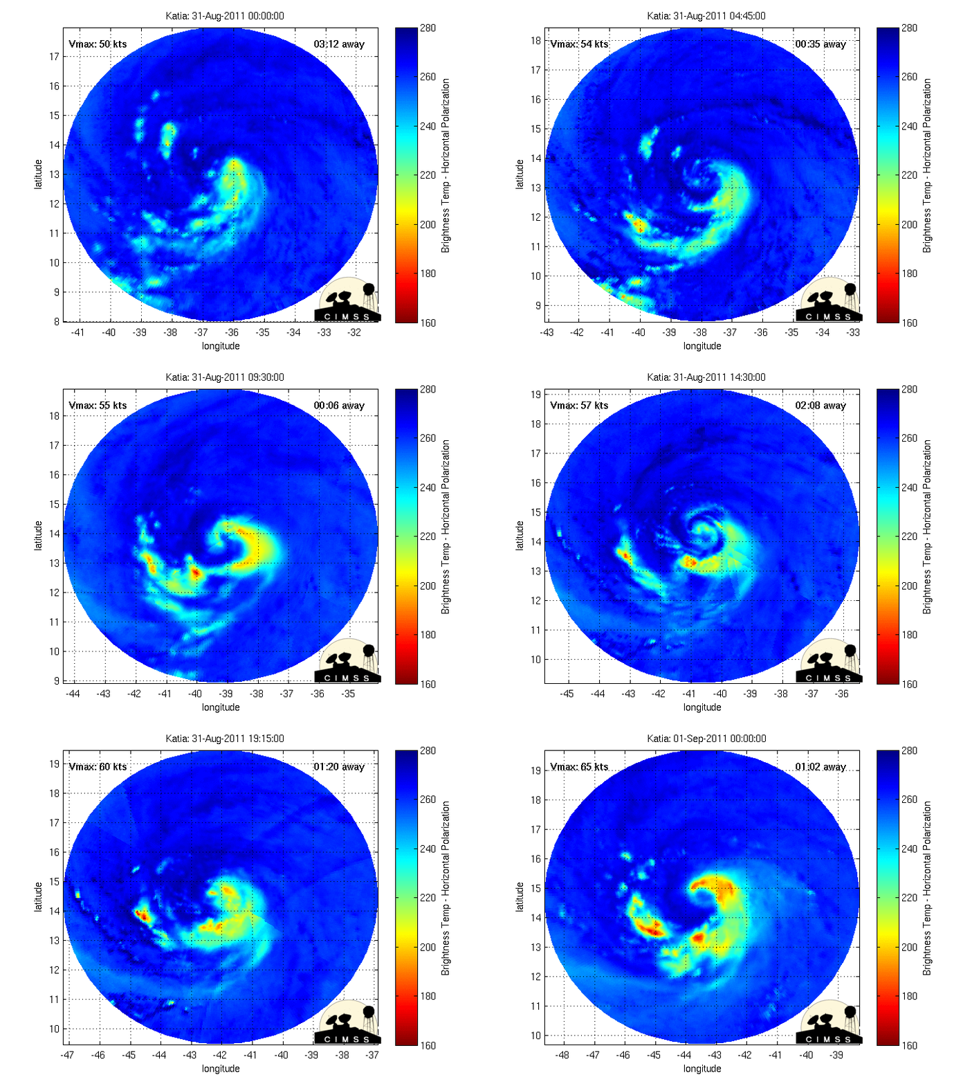
Hello everyone. You are probably expecting an update of the ECMWF model, but we're going to take a look at surface observations and that kind of stuff. First off we have microwave imagery of Katia
Basically, it shows the coldest cloud tops (most intense convection) in the storm, as well as a generalized view of the center of circulation.This won't be a long discussion, so here's the ensembles take on Katia.


No comments:
Post a Comment