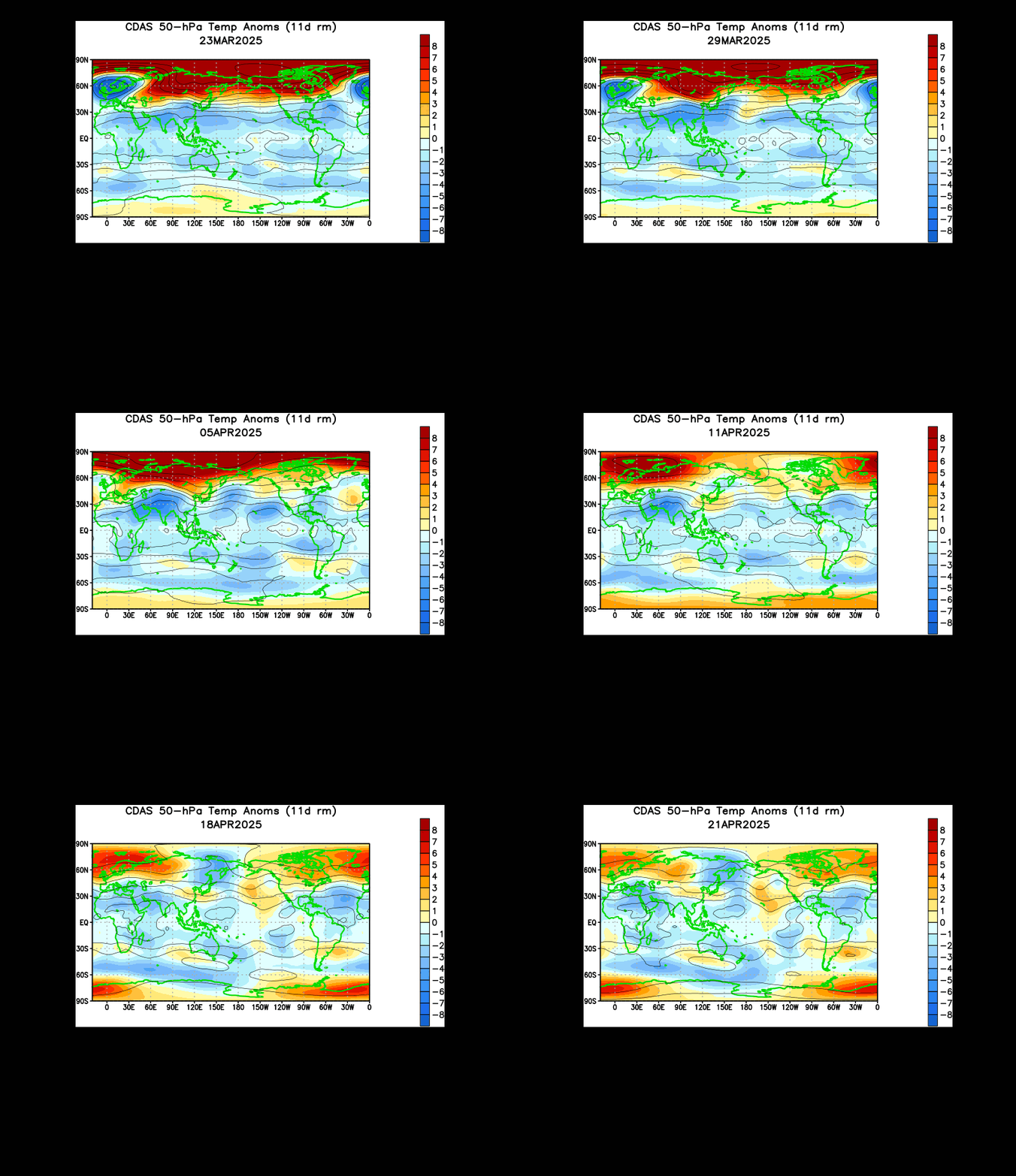
Animations of the 50mb temperature level (as shown above) suggest that a sudden stratospheric warming (SSW) is about to take place.
The above animation covers 30 days and shows two warmings. The first stratospheric warming is shown in the first week of December with a big red blob flowing into the Arctic. Fast forward ahead to today and we find another huge red blob beginning to make a move into the Arctic. Why can I tell? In the last two or three frames, you can see the small lines start to push up into the Arctic in response to warm air pushing north- a common trait with how stratospheric warmings happen.
A chart of observed 70mb temperatures shown above clearly shows the aforementioned warmings. The first stratospheric warming is shown as the first red spike on the far right of this graph, and the recent warming (and soon to be SSW event) is shown at the very end of the image.
This was all mentioned in yesterday's big stratospheric post (link here) in how warming in the stratosphere will provoke the polar vortex to sustain heavy damage, possibly to the point of collapse in upper stratospheric levels. That means cold weather starting mid January.
Andrew


.gif)
2 comments:
lol @ everyone who said no way in other post!!!!!!!!
This is a note from the nws "On december 26,2012 the modle analysis and guidance MAG website experienced a major failture......have any imfornation on what happened.
Post a Comment