The latest GFS and ECMWF are hinting at a late season snowfall for the Northeast next week, as temperatures look to plunge below freezing and a massive storm system strengthens in the presence of the Atlantic Ocean. In this discussion, we will review things pointing towards the snowfall as well as caveats to the potential snowfall.
A caveat of this potential snowfall includes a crashing PNA index. The Pacific North American pattern, commonly referred to as the PNA, looks to be moving towards a negative phase around the time of the storm system. When the PNA is in a negative phase, a ridge is pressed into the Southeast and diverts storms away from the Northeast. Snowfall producing storms are favored in positive PNA situations. If this PNA forecast were to verify (which I am not completely sold on yet), the system would likely be forced away.

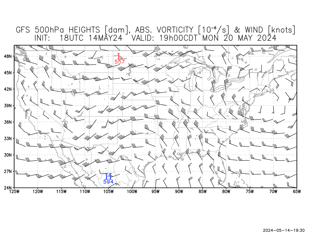
Something I would watch for is the NAO to help this storm. Seeing as it is being forecast into a negative phase, the North Atlantic Oscillation (NAO) would position variables to become conductive for a snowfall in the Northeast. I advise you not to totally take the NAO and run, because if you see the correlation with observations in the 14 day forecast on the bottom, there is only a 12% verification score in the past 4 months or so. Notice the glitch just before January 1. This likely battered down the score, so I would place the verification around 30%- still not very good.
Other Positives
•ECMWF/GFS model agreement is reassuring.
•NAO appears favorable for some light snow.
Other Caveats
•PNA must be considered.
•System remains 6-7 days out.


6 comments:
Wish this could have happened in February.
Models are all over with this. From a cut off low over the Ohio Valley, yesterday, to a noreaster well off the East Coast. I will probably use ECMWF/UKMET blend. GFS is everywhere. NAO go negative!!! Rain, snow, sleet, freezing rain, hail, graupel; you are welcome to the East Coast!!!!!!!!! WE NEED PRECIP!!!! Computer models make me furious. I want certainty! But the computer models want to play hteir games. Saturday may offer a bit of severe thunderstorms!!! Storm chasing!?!? Anyway, rain is really needed across the area. Cooler weather for the early part of next week. I am 100% convinced that snow is likely somewhere across the East. Maybe Florida!?! No, more like New England, but it would be funny to see snow down in Florida. This article is very informative and has excellent guidelines for this storm system. I will try to get something in later tonight. Yes, the computer models have driven me crazy.........../' The story continues.........''''' But we must remember, we cannot beat the weather. We can only tie it. No meteorologist expects computer models to be perfect. If they were.... unemployed> Just my joking way of handling this storm.
Hello.I'll post an interesting true weather event that occured over one hundred years ago in eastern Ohio.You may not believe it,but it is true.
Hey ERN WX! I.m supposed to get some decent raainfall Fri.night through Sat.Hopefully it doesn't dissapate before it reaches you in the northeast.It all depends how quickly the upper level low moves.We need it to stall out and sit for a few days.That would be a good thing!
Agreed, Mike. I look forward to what you have to post.
Hey Andrew, just letting you know that Invest 91 is in the Atlantic. Nothing big, just passing the news!
- RW
Post a Comment