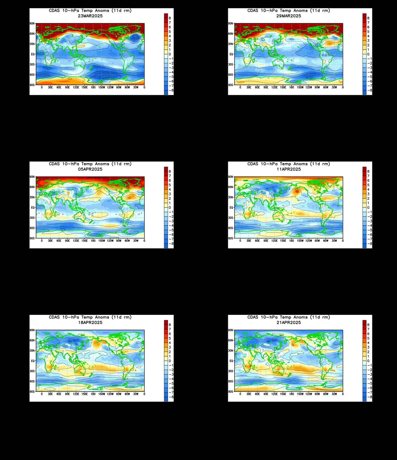
I am seeing increasing signs that a sudden stratospheric warming is about to take place in the upper stratosphere.
Shown above is an animation of 10 millibar temperature anomalies in the stratosphere. As I alluded to in my February 24th post, the Himalayan mountain range is a natural geographic instigator for these sudden stratospheric warmings. The enormous warming event we saw in January originated from the same mountain range we are now seeing this impending mass of warmth. Analyzing the above animation shows us that this warming event has been in the works since the beginning of February. In recent weeks towards mid and late February, we saw strengthening of this warming, and it became clear to me that this was not just a quick warming event. In my opinion, if you see a warming event over the Himalaya Mountains and it is sustained and strengthening, there's a solid chance that a sudden stratospheric warming could emerge from that situation.
The reason I am suddenly on what you may perceive as high alert is because of the last frame of this animation. If you look closely, you can see the pulse of warm temperature anomalies suddenly flare up over the Himalayan mountains, a sign of possibly sudden strengthening of this warming mass. This body of upper stratospheric warmth may very well be in its final stages of formation and the beginning stages of possible propagation to the Arctic, where the sudden stratospheric warming event could then take place. The warm air in the stratosphere would then push cold air down to the surface, and we could see that cold air hit the surface in the next 2-5 weeks, right around the start of severe weather season. If this cold air is able to come close to the US, or even penetrate through the nation, chances are the severe weather risk and winter weather risk would be heightened. I will explain more later on.
Andrew


No comments:
Post a Comment