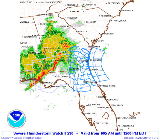
A severe thunderstorm watch is in effect for southeast Wisconsin and northeast Illinois until 7:00 PM CDT. Lower Lake Michigan is also affected.
Discussion
A feature currently initiating showers and storms is in the northern part of this watch box. The storms are moving progressively east, onto Lake Michigan. Because storms have now formed in southern Wisconsin, it is possible an outflow boundary has formed and is moving south towards northern Illinois. Should this happen, storms would ignite there as well. However, that is not evident on visible satellite imagery.
GOES Satellite imagery has detected a Lifted Index value of -12 in extreme northeast Illinois, meaning that the atmosphere is very ripe for thunderstorms. More to come.


No comments:
Post a Comment